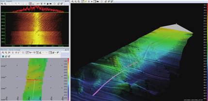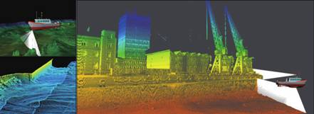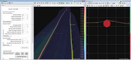
Teledyne PDS is a software package for hydrographic survey and dredging operations. It offers modules that cover the entire operation from acquisition to the end product. The software runs on standard PCs with Windows operating system. Teledyne PDS is available in different versions tailored to specific operations.
The purpose of the PDS software suite is real time reading of data from one or more sensors, make computations with the data, display the results of the computations and simultaneously log the data. To be able to control those processes a number of different views has been developed that will display the reading, computations, results, and logging processes. The data can be displayed either graphically or alphanumerically.
Data needs to be verified after the measurements and Teledyne PDS has several options to remove anomalies and outliers, either manually or automatically. The final presentation of the cleaned data can be in the form of models, tables, files, volumes, nautical charts and reports.
Teledyne PDS is used for many applications that involve measuring the seafloor or riverbeds for hazardous areas, progress of the dredge and construction work and safe navigation. Quality control during data collection provides best quality data that makes processing even easier. Results are shown in the digital terrain model volumes calculation reports and charts.
The multibeam, single beam and magnetometer applications can be split in data collection and data processing/charting. Barsweep is data collection only.

